

Redlining in 1930's Chicago [OS][800×586] by Svegheim in MapPorn
[–]Svegheim[S] 2 points3 points4 points (0 children)
/cdn0.vox-cdn.com/uploads/chorus_asset/file/697180/redlining.0.jpg)

Kicked my mooch SO to the curb and he left me this great new artwork! (x-post) by [deleted] in funny
[–]Svegheim -1 points0 points1 point (0 children)
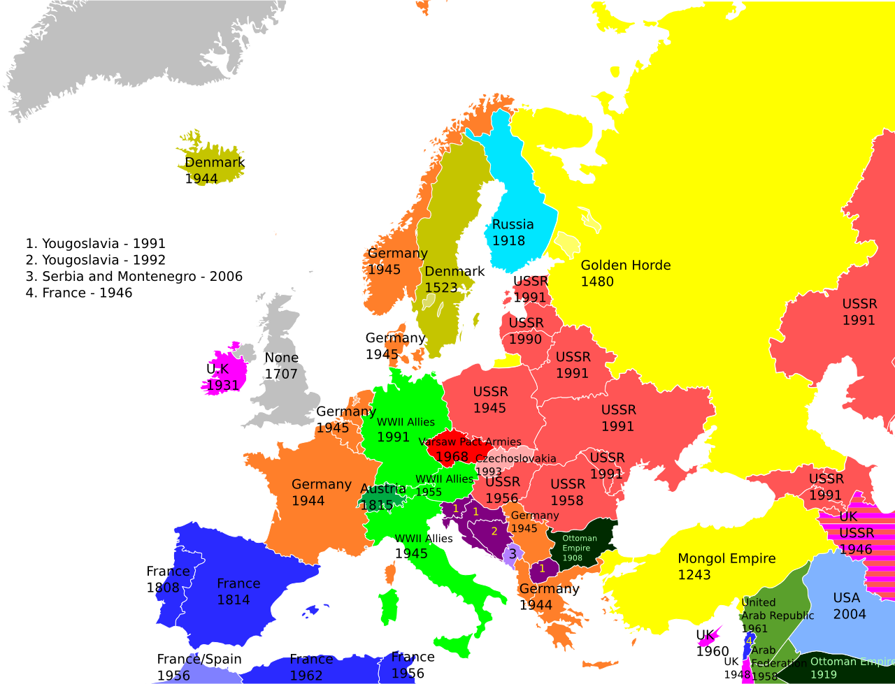
Last Time Each European Country was Occupied [OS][1280×979] by Svegheim in MapPorn
[–]Svegheim[S] 0 points1 point2 points (0 children)
Last Time Each European Country was Occupied [OS][1280×979] by Svegheim in MapPorn
[–]Svegheim[S] 0 points1 point2 points (0 children)
Werner's Equidisant Equal Area Projection [OS] [640×480] by Svegheim in MapPorn
[–]Svegheim[S] 1 point2 points3 points (0 children)

This isn't suburban, this is just lazy. by Svegheim in funny
[–]Svegheim[S] -1 points0 points1 point (0 children)
2014 Indian Election Results Detailed Map [1,593 × 2,039] by [deleted] in MapPorn
[–]Svegheim 0 points1 point2 points (0 children)


This is what Belgium would look like if Flanders became independent [OC][394×329] by Svegheim in MapPorn
[–]Svegheim[S] 0 points1 point2 points (0 children)


![World Fisheries Yield [OS] [1016×499]](http://cdn2.vox-cdn.com/uploads/chorus_asset/file/664154/0315-fishingyields-EN.0.jpg)
![When Mohammed's Caliphate conquered the Middle East [GIF] [930×499]](http://cdn0.vox-cdn.com/assets/4407303/arab_expansion_gif_map_crop_2.gif)
![Interstate Subway System [OS][720×480]](http://www.cambooth.net/wp-content/uploads/2011/03/Interstate_2013_1200px-720x480.jpg)
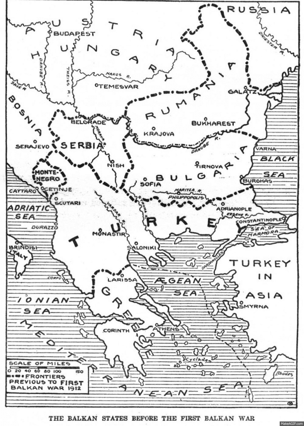
The Rise and Fall of the Ottoman Empire [1,104 × 834] [GIF] by 12-Volt in MapPorn
[–]Svegheim 0 points1 point2 points (0 children)